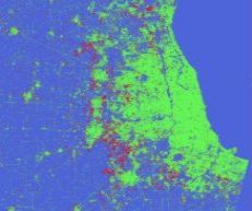
Springfield
City Districts and
Population
|
|
|
Ground Truth Locations |
UTM Coordinates |
Latitude and Longitude Coordinates |
|
City |
Country |
Ground Truth Locations |
Description and Images |
East |
North |
Hemisphere |
Zone |
Latitude |
Longitude |
|
|
|
|
Overview |
|
|
|
|
|
|
|
Springfield |
USA |
0 |
City Center |
698994.59 |
4664269.31 |
N |
18 |
42.10526 |
-72.59330 |
|
Springfield |
USA |
1 |
On the Bridge |
697390.84 |
4664667.93 |
N |
18 |
42.10925 |
-72.61254 |
|
Springfield |
USA |
2 |
On the Bridge |
700144.10 |
4661701.45 |
N |
18 |
42.08186 |
-72.58028 |
|
Springfield |
USA |
3 |
Intersection in the City |
702591.44 |
4663008.55 |
N |
18 |
42.09299 |
-72.55027 |
|
Springfield |
USA |
4 |
Intersection in the City |
700283.15 |
4667087.46 |
N |
18 |
42.13029 |
-72.57676 |